
Pilot
Belgium
Flanders
Access to public farmland for land-based farm transitions
Flanders is the northern region of Belgium. It covers over 13.500 km² and has a population of over 6.8 million, resulting in a relatively high population density of 497 inhabitants per km². Early agricultural and urban development, and a very central location in Europe have contributed to high rates of land consumption, characterised by a very dispersed urbanisation pattern. Flanders is part of the delta region of the Scheldt, Meuse and Rhine rivers. The region is characterised by several rich soil types and agricultural regions, including clay polders in the north, loamy soils in the hilly south and sandy soils in between. The Plateau of Izenberge, one of the regions on which this pilot focusses, is an arable area near the Yser river valley located in the western part of Flanders.

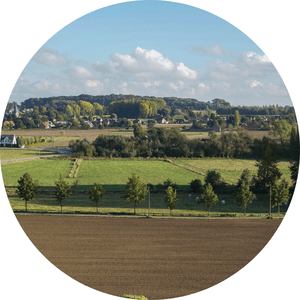
Map of the pilot region.
Contact: Hans Vandermaelen (hans [dot] vandermaelen [at] ilvo [dot] vlaanderen [dot] be (hans[dot]vandermaelen[at]ilvo[dot]vlaanderen[dot]be))