Rural and Peri-urban
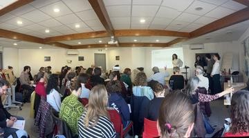
An Apéro Science in Montpellier on abandoned farmland
On March 24, 2026, an “Apéro Science” event was held at the restaurant Esencia in Montpellier, bringing together SPADES researchers with citizens in a st...
Pilot
France
Reviving agricultural fallow lands for a resilient future.
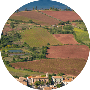
The Pays Cœur d'Hérault (PCH) is located in the hinterland of Montpellier. Its predominantly rural landscape features a wine-growing plain in the south and hills in the north, historically shaped by pastoral farming. Spanning 130,000 hectares, the landscape is divided into: 68% scrubland and forest, 18% cultivated land (including 10% vineyards), 4% abandoned farmland (6,000 ha), and 3% urban areas, mostly small villages.

Landscape and mountains in the Pays Coeur d’Hérault.
Contact: coline [dot] perrin [at] inrae [dot] fr